Morning Mist to Afternoon Sizzle: Canberra Braces for Extreme UV and Rising Heat
A Day of Drastic Transitions
Canberra residents are set to experience a significant shift in conditions this Wednesday, 11 February 2026. The day is expected to start with a cool, atmospheric haze before transitioning into a high-heat afternoon that will test the city's summer endurance. With temperatures forecast to climb well into the thirties, the capital is looking at one of the more intense weather days of the week, characterized by extreme solar radiation and a rising fire risk.
Morning: A Foggy Start
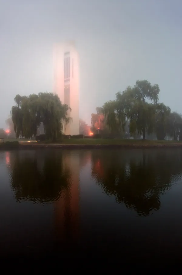
Early risers and commuters should prepare for reduced visibility as the Bureau of Meteorology predicts a high chance of fog across the Canberra area during the early morning hours. Temperatures will start at a comfortable 16°C, providing a brief window of relief before the sun breaks through. The mist is expected to burn off by mid-morning, giving way to clear, blue skies as the solar intensity rapidly increases.
Afternoon: Peak Heat and Extreme UV
As the fog clears, the mercury will climb steadily toward a forecast maximum of 34°C. The afternoon is expected to be mostly sunny, with light winds shifting to the northwest at speeds of 20 to 30 km/h during the middle of the day. This northwesterly flow will bring warmer air into the Basin, contributing to the peak heat. Health officials and meteorologists have issued a specific alert regarding the UV Index, which is predicted to hit an 'Extreme' level of 13. Sun protection is strongly recommended between 9:10 am and 5:20 pm, as skin damage can occur in as little as a few minutes under these conditions.
Evening Outlook
As the sun begins to set, the brisk northwesterly winds are expected to die down, becoming light and variable late in the evening. While the day will remain predominantly dry with only a 10% chance of rain, some cloud cover may begin to build overnight. This increasing cloudiness serves as a precursor to a more significant change expected on Thursday, but for Wednesday evening, the primary story remains the lingering heat following the 34°C peak.
Safety Warnings and Fire Danger
In addition to the heat and UV alerts, the Fire Danger Rating for the Australian Capital Territory has been set to 'High' for Wednesday. Residents are urged to remain vigilant and adhere to all local fire safety regulations. The combination of dry conditions and moderate winds during the day means that any sparks could pose a significant risk to the surrounding bushland and grasslands. Keep hydrated, seek shade during the peak of the afternoon, and ensure that pets have access to plenty of water and cool shelter.
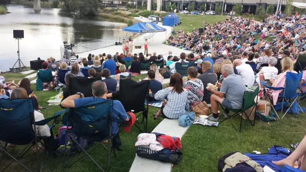
Shakespeare by the Lake and Lunar New Year Feasts Today in Canberra
Clear Skies and Cultural Spark: The Tuesday Morning Briefing
Major Delays Expected on Commonwealth Avenue and Arterial Roads